|
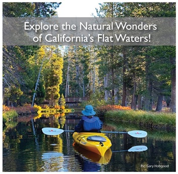
Paddling is without a doubt the most
intimate way to explore the beauty and
splendor of Sugar Pine Reservoir. It offers
stunning vistas along the way to please all
paddlers.It is an easy and delightful paddle
for all skill levels.
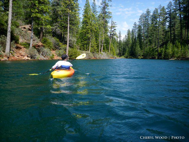
The quiet nature of flat water paddling
lends itself to a wide array of wildlife
viewing and photo opportunities at Sugar
Pine Reservoir. Often, the crow of a soaring
bird is the only disruption at this peaceful
haven. The shores are lined with sugar pines
and a dense mixed conifer that surrounds the
reservoir's 3.5 miles of shoreline.
Activities include boating, swimming,
camping, and picnicking, but the reservoir
is primarily used for fishing,
paddleboarding, canoeing, and kayaking. Boat
traffic during the summer is usually minimal
because the 10 m.p.h. boat speed limit
deters the number of powerboat enthusiasts.
However, it is a popular summer destination
for camping.
Giant Gap Campground is situated on the
northwest shore of Sugar Pine Reservoir.
This campground is nestled within a forest
of cedar and pine trees, offering scenic
views of the reservoir.
So if you’re looking for a quiet and
relaxing paddle with lots of wildlife
viewing and birdwatching, be sure to include
Sugar Pi ne
Reservoir in your itinerary. Whether you go
by kayak, canoe, or paddleboard, paddling
here is bound to be an unforgettable
experience. ne
Reservoir in your itinerary. Whether you go
by kayak, canoe, or paddleboard, paddling
here is bound to be an unforgettable
experience.
Map of Sugar Pine Reservoir
|