Humboldt Bay consists of two basins. The
northern basin is the Arcata Bay and the
southern basin is the Humboldt Bay. The two
basins are connected by a channel of water. The
bay ranges from one-half-of-a-mile to 14-miles in width.
Large parts of the bay are included within
the Humboldt Bay National Wildlife Refuge,
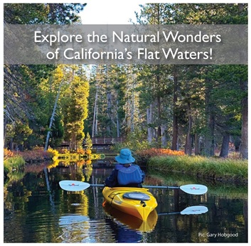
and it’s a prime spot for paddling and
observing marine life. The peak season to
view wildlife is from September through
April. Humboldt Bay is also a working bay,
and one will see large vessels loaded with
logs and many small fishing vessels headed
out to sea and back.
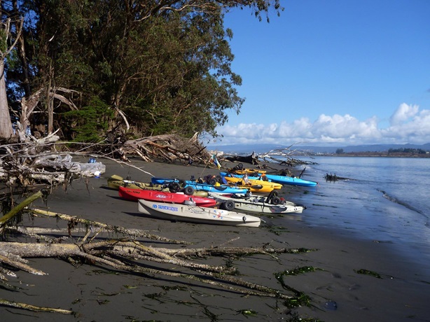
Recreational boating opportunities are
available for watercraft ranging from canoes
and kayaks to larger vessels. Canoes and
kayaks as well as paddle boards are popular
for exploring the salt marshes that ring
Humboldt Bay. There are several launch areas
that are suitable for launching canoes and
kayaks around Humboldt Bay. A public launch area is located at
Woodley Island Marina.
Two private marinas are also located in the
community of King Salmon, closest to the
entrance to Humboldt Bay. There are several
nice locations to paddle within Humboldt
Bay. Indian Island, the southern end of the
North Spit,
the area between Fields Landing and the
entrance to Humboldt Bay.
Paddlers should always be aware that tides,
wind, and weather change rapidly on Humboldt
Bay.