|
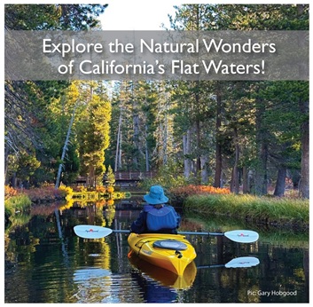
San Francisco Bay is an extraordinary
paddling destination, with the coast on one
side and California's wine country on the
other. Imagine gliding across the water
under a silvery moon, the San Francisco
skyline twinkling all around you—an
unforgettable paddling adventure. Or explore
the gentle waters of the Oakland Estuary,
where you can spot harbor seals, herons, and
shorebirds among the marshes of San Leandro
Bay.
The bay offers year-round kayaking and
fishing, though summer is the most popular
season. The quieter spring, fall, and winter
bring a more peaceful pace for paddlers
seeking solitude. San Francisco Bay is part
of a vast estuarine system, encompassing 480
square miles and 12 islands across northern,
southern, and central regions.
This complex waterway poses navigational
challenges, with converging sea lanes,
shifting shallows, and a main channel that
funnels through the Golden Gate. Traversing
the bay requires the utmost caution, as
conditions can change rapidly with the
weather, tides, and seasons,
potentially making the waters impassable for
paddlers at times.
Camping is available at China C amp
State Park at Back Ranch Meadow
Campground.Situated at the northwest end of
China Camp State Park. It offers walk-in,
tent only camping in a vibrant natural
setting. amp
State Park at Back Ranch Meadow
Campground.Situated at the northwest end of
China Camp State Park. It offers walk-in,
tent only camping in a vibrant natural
setting.
Map of San Francisco Bay
|