|
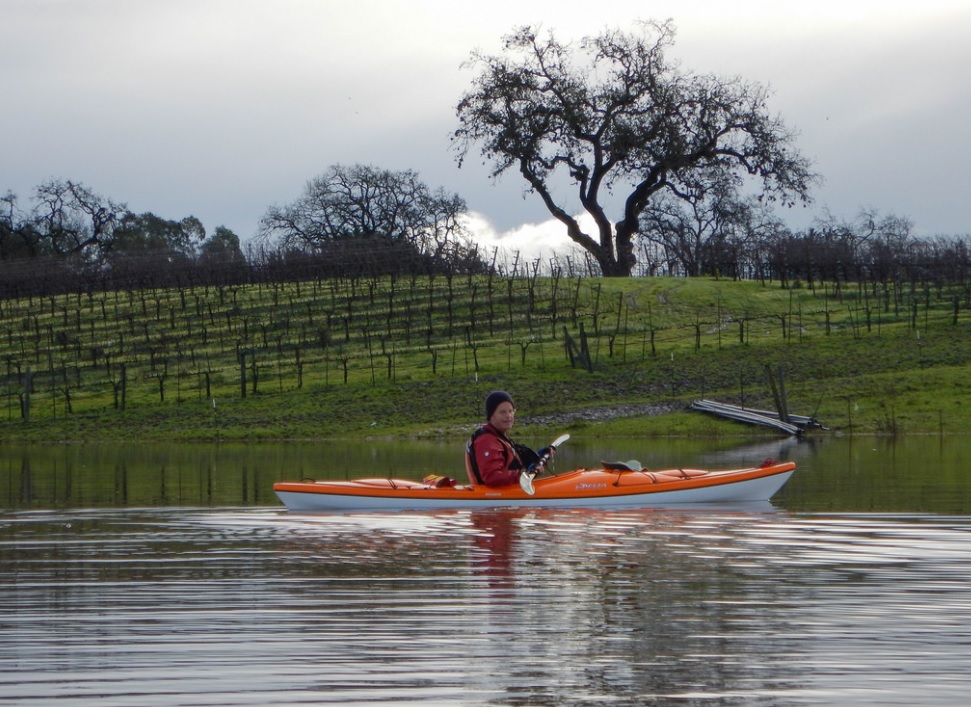
The Laguna de Santa Rosa offers a rare and
unparalleled opportunity to view the diverse
landscape of Sonoma County’s largest freshwater
wetland by kayak. Gazing northeast beyond the
Laguna de Santa Rosa, lies the Mayacamas
Mountains nestled in the background. The Laguna
de Santa Rosa is on the coast of Northern
California, just east of Forestville, in the
heart of Sonoma County. Paddling the peaceful
waters of the Laguna is enough to make you dream
of escaping to a simpler life, more in touch
with nature, seem possible.
The Laguna forms the largest tributary to
the Russian River, draining a
254-square-mile watershed which encompasses
nearly the entire Santa Rosa Plain. The
Laguna’s 22-mile channel extends from Cotati
to its confluence with the Russian River at
Forestville. It covers more than 30,000
acres of riparian corridors consisting of
creeks and streams and a mixture of marshes,
open water bodies, wetlands, oak woodlands
and grasslands. It serves as a natural
holding basin which captures and slows
floodwaters.
During the winter and early spring, the
rains turn the Laguna into a large lake and
bird sanctuary. The Laguna is a very shallow
floodplain and the water flow narrows into a
winding creek in the dry summer months and
into a large floodplain during periods of
heavy rain. Paddling in the Laguna is
possible only when it has recently rained
significantly. After flooding, you can
paddle under the bridge and over the flooded
pastures which form a shallow lake. During
droughts, there isn’t enough
 water
to paddle through the dense vegetation. The
best time of day to paddle here is in the
morning before the sun gets too high in the
sky as it can get fairly warm. water
to paddle through the dense vegetation. The
best time of day to paddle here is in the
morning before the sun gets too high in the
sky as it can get fairly warm.
Map of Laguna de Santa Rosa
|