|
The lower 17 miles of the Napa River, from
Trancas Street in Napa to Vallejo, including
about 6 miles within Napa city limits, are
part of the largest estuary system on the
West Coast. This section of the Napa River,
one of the largest rivers in the Central
Coast Range, drains 426 square miles over
its 50-mile journey from Mount St. Helena to
San Pablo Bay.
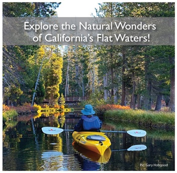
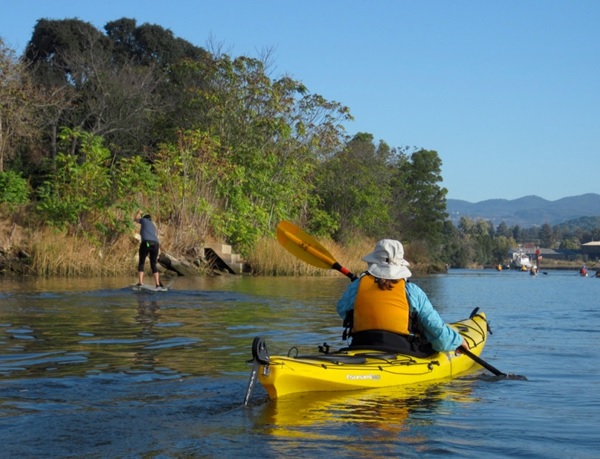
The Napa River offers a peaceful,
picturesque setting for pleasant paddling,
with warmer weather than the surrounding San
Francisco area. Kayakers can explore its
scenic waterways year-round, taking in
beautiful views and abundant wildlife,
including vibrant spring wildflower displays
along the landscape.
However, paddlers must plan carefully around
the Napa River's tidal influences. As a
tidal waterway flowing north from San Pablo
Bay, the river's water levels and currents
fluctuate significantly based on tide tables
and wind conditions. Paying close attention
to the tides is crucial to avoid getting
stranded on exposed mudflats. Additionally,
paddling against the wind and tide can
quickly turn a leisurely outing into an
exhausting, slow-moving workout.
Overall, the Napa River provides an unforgettable
paddling adventure, but boaters need to be
mindful of the tidal conditions to ensure a
safe and enjoyable experience.
Tent and RV camping is available at Skyline
Wilderness Park, nestled in the foothills of
the beautiful Napa Valley.
Map of Napa RIver
|