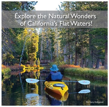
|
Paddling down the tidal Navarro River
through Mendocino County's Navarro River
Redwoods State Park, you'll witness one of
California's most breathtaking landscapes as
the river winds through the majestic redwood
forest. The 660-acre park stretches 11 miles
along both banks of the Navarro River,
featuring second-growth redwoods.
Navigability of the Navarro River varies
seasonally - the tidal section is typically
only navigable by boat after early spring,
when water levels are higher. Paddlers
should check tide predictions and aim to
paddle upriver with the incoming tide and
return downriver with the outgoing tide to
avoid having to arrange shuttle
transportation.
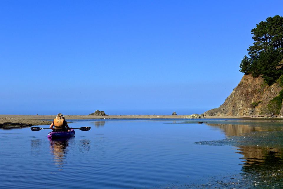
The "Ocean Run," spanning 8 miles, begins at
the Paul M. The journey from Dimmick
Campground’s put-in to the takeout at
Navarro Beach meanders through tight
channels, encountering a few fallen trees
along the way. As you get closer to the
Pacific Ocean, the scenery shifts from
redwood forests to a sandy coastal beach.
You have the option to exit just below the
Highway 1 bridge or proceed to Navarro
Beach, which is approximately 20 miles south
of Noyo Harbor. Parking can be found at the
beach takeout.
Reservations are not accepted at Navarro
Beach Campground. This campsite operates on
a first-come, first-served basis. The Paul
Dimmick Campground is open from Memorial Day
Weekend until Labor Day..
Map of the Navarro River
|